Try Aperture v5!
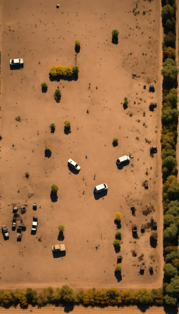
Top down close up simple blocky pixel image of an empty post apocalyptic field with trees and ruined...
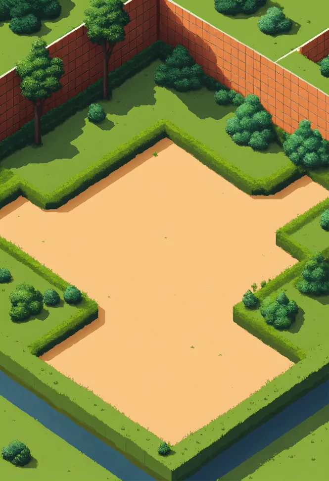
Simple pixel 2d flat empty plain dirt grassy landscape from above isometric
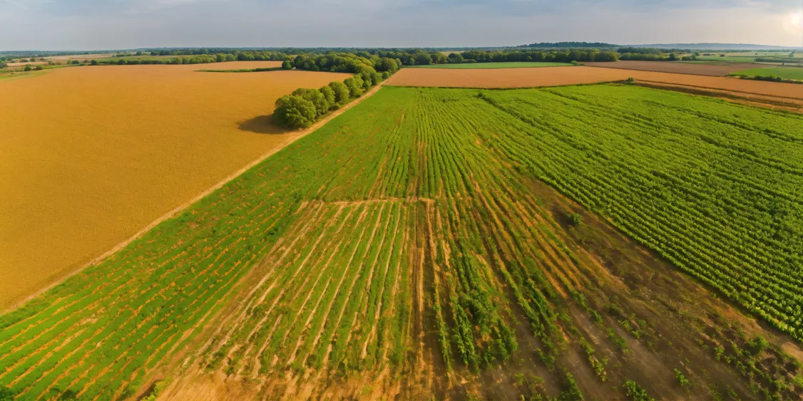
Field of maize planted unevenly
View from ten drone
Arial view of 200 miles north to south with Tel giddo in the bottom 1/5th of the map. 6k image qualt...
MAP LOW DETAIL
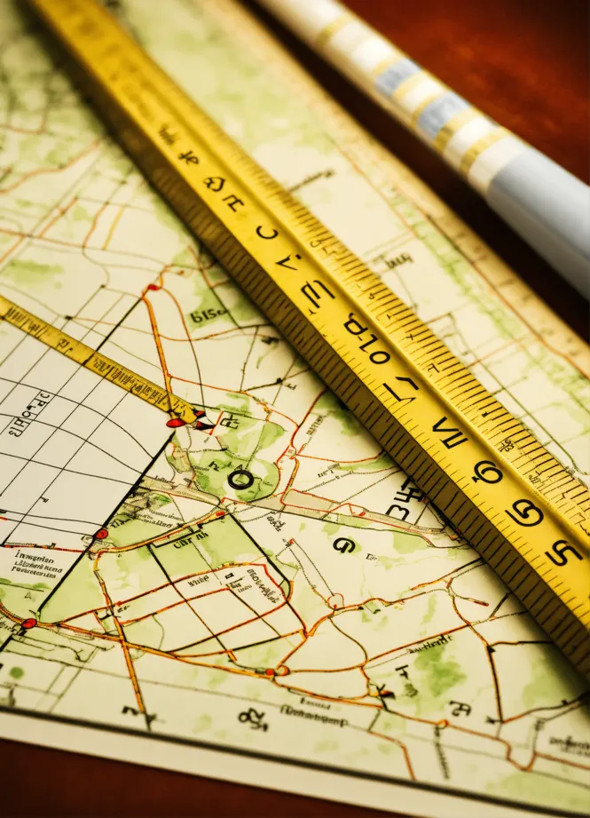
A close-up shot of a ruler and technical drawing tools resting on a zoning regulation document. The ...
While the compass represents the need to understand local regula...
"Generate a logo concept for a land measurement firm that specializes in land mapping and plotting s...
Professionalism, and expertise in land measurement."
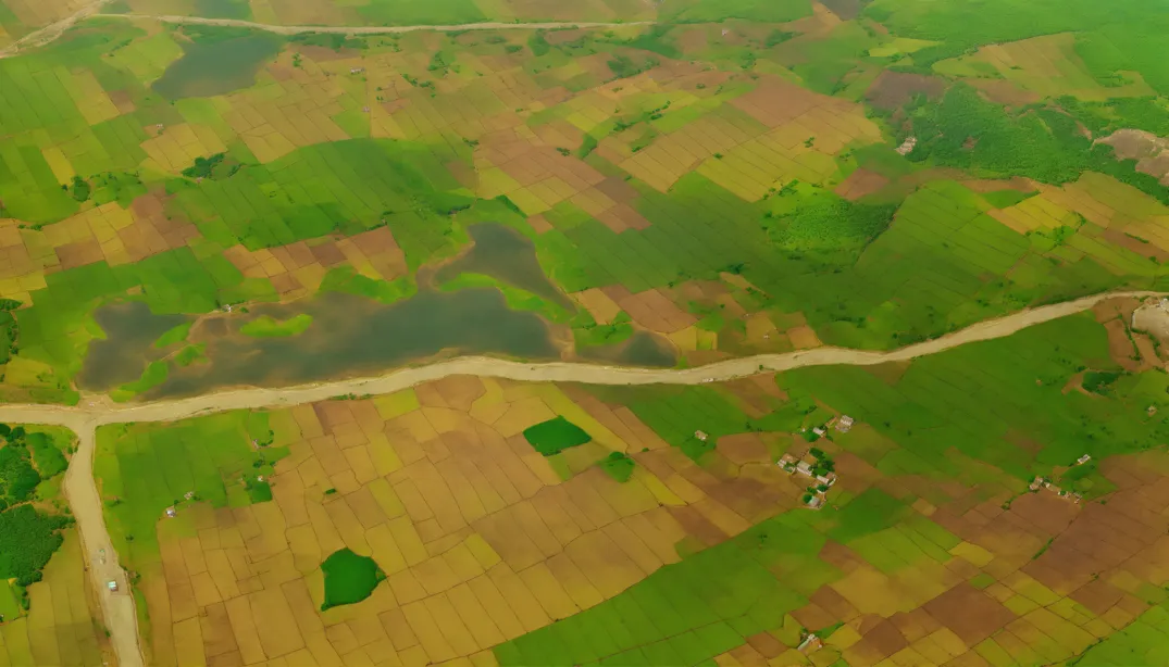
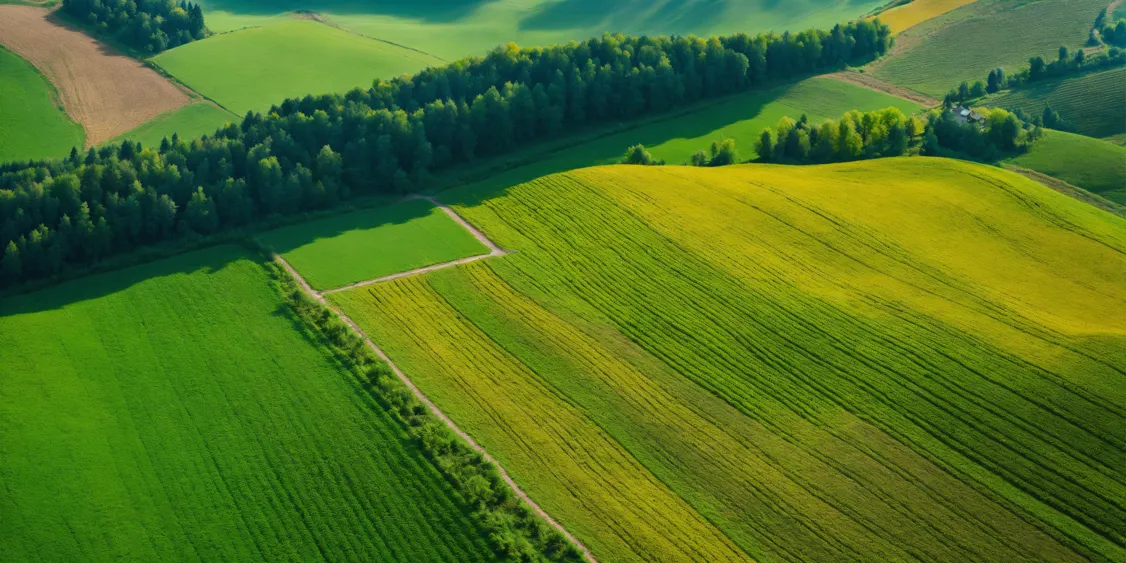
Fields of a local crops
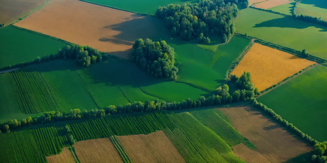
Zakarpattia region, Carpathian Mountains, Ukraine, bird's eye vi...
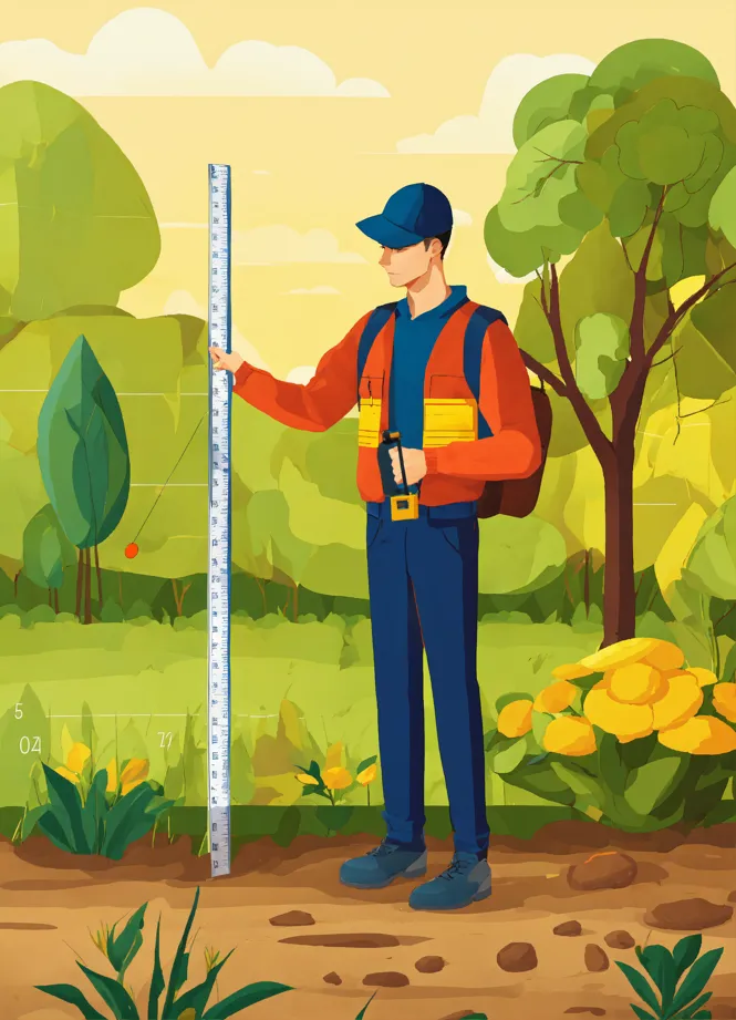
Man using a measuring tape to measure the perimeter of his land. Vector image.
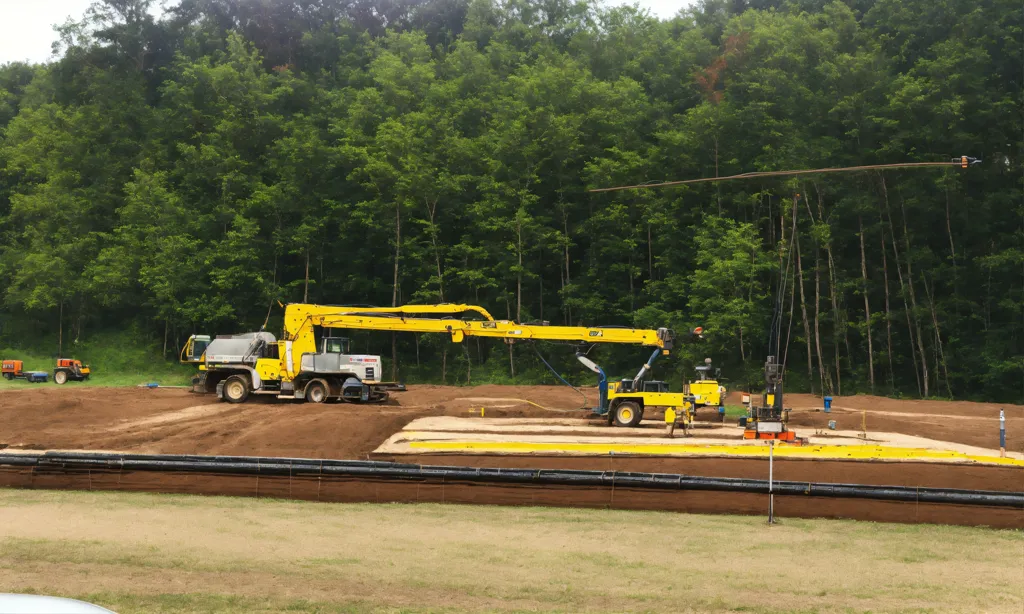
Well drilling
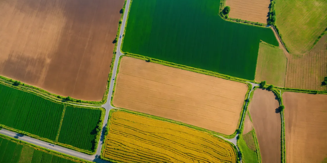
Zakarpattia region, Ukraine, satellite view, 8k